Places to go to by boat from Nynäshamn
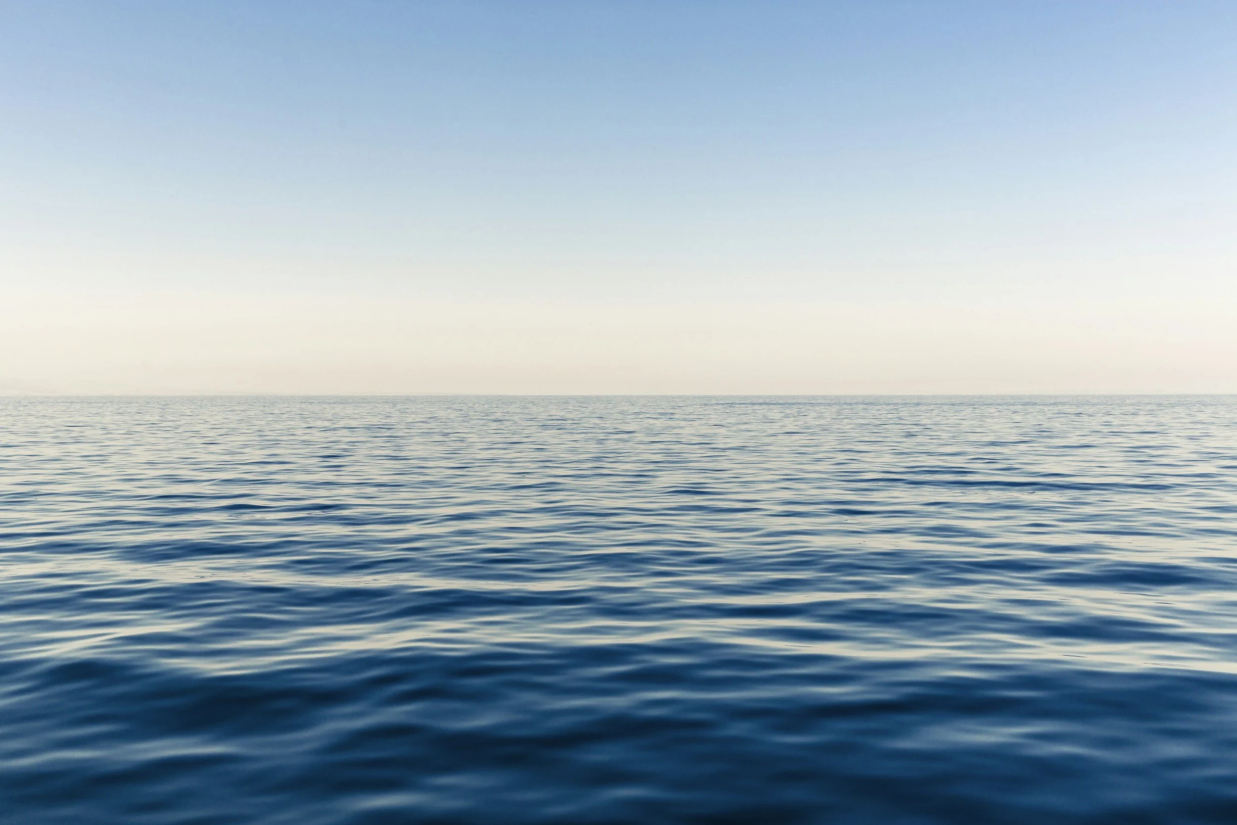
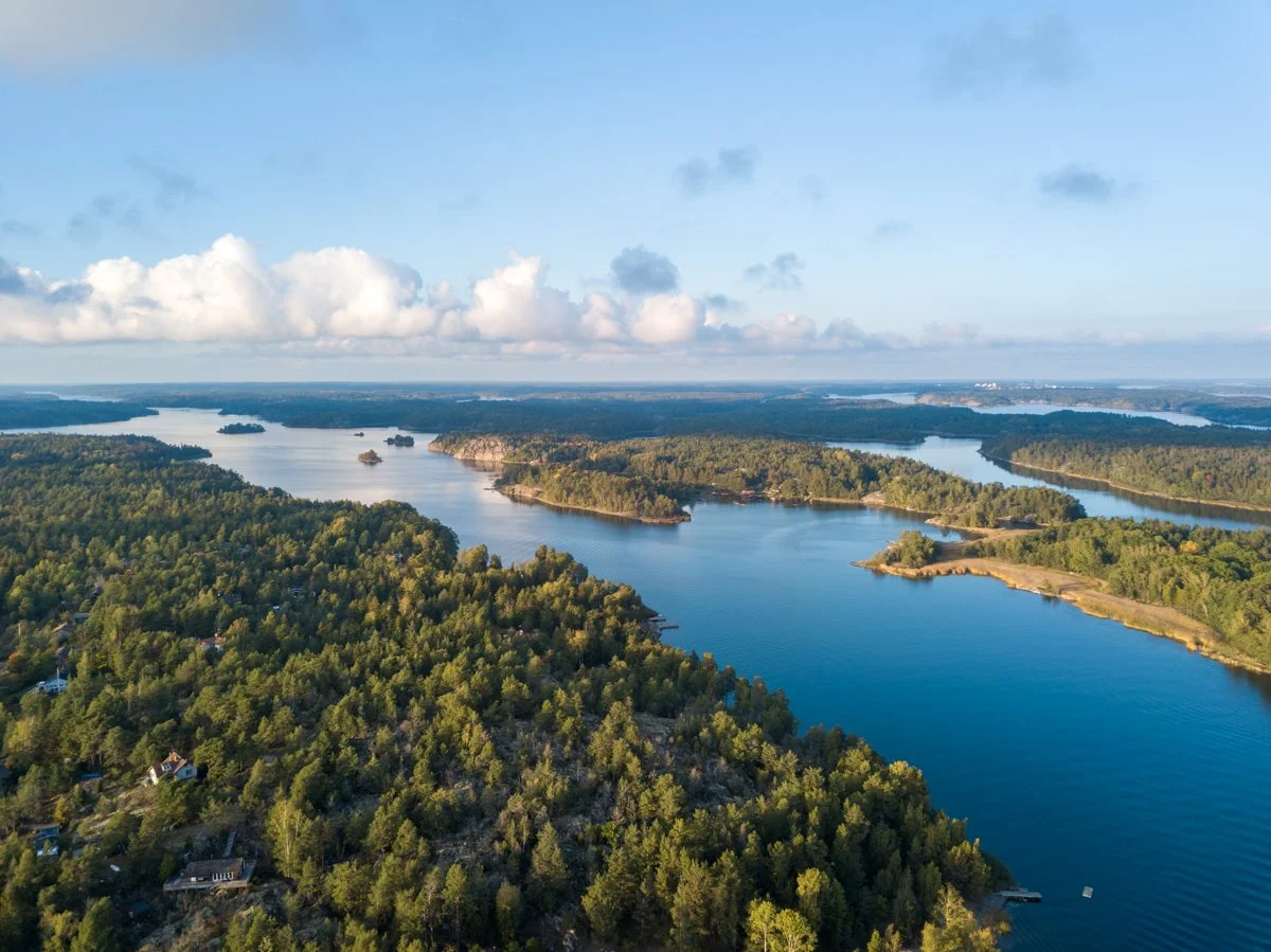
Renting a boat in Nynäshamn gives you direct access to some of the most beautiful islands in the southern Stockholm archipelago. Within 30 to 60 minutes, you can reach sandy beaches, smooth granite cliffs, historic lighthouses and quiet natural harbours.
Our favourite local islands…
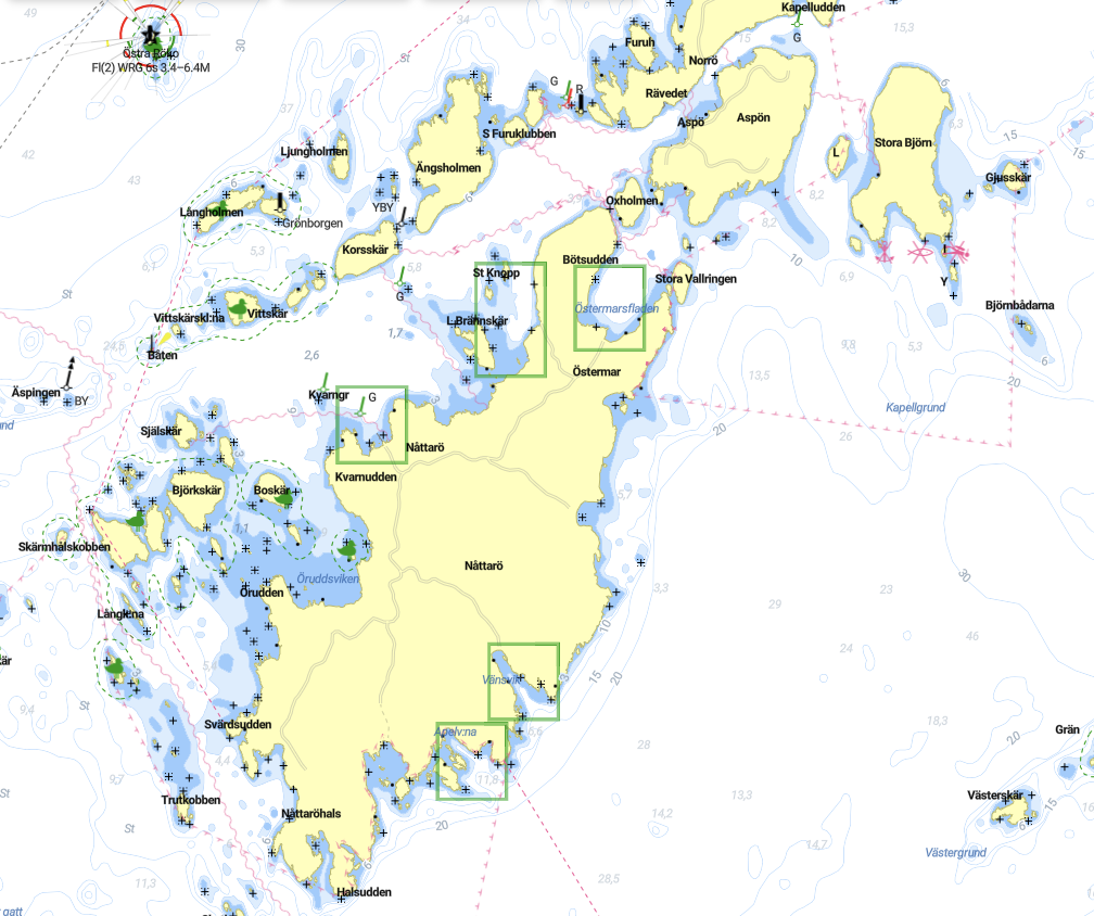
Nåttarö
The jewel of the South Archipelago
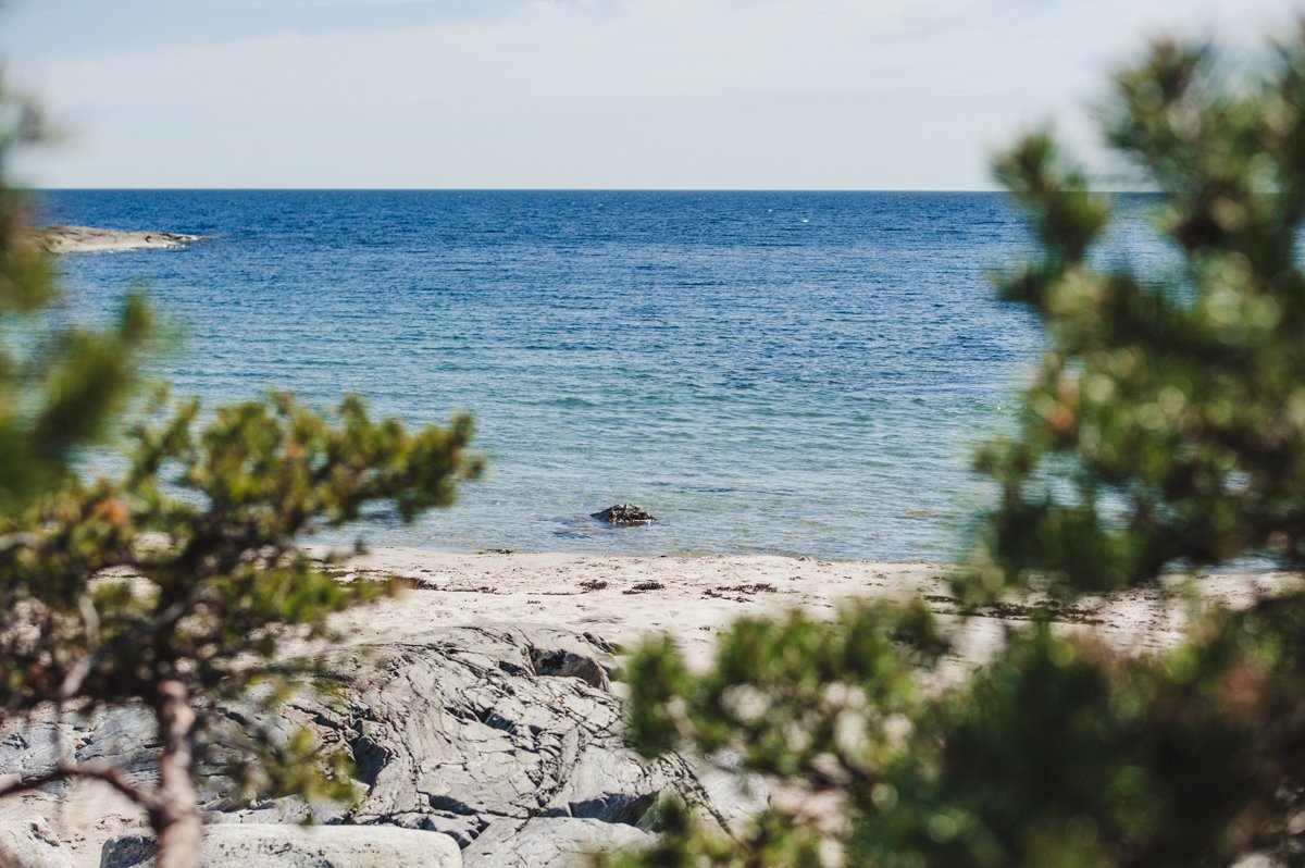
Nåttarö is one of the most famous and beautiful islands in the southern Stockholm archipelago, known for its long sandy beaches and unusually clear water. Located just east of Nynäshamn, it is a perfect destination when renting a boat and exploring the archipelago for the day.

The island is best known for Stora Sand, a wide natural beach with fine sand and shallow water that stretches along the coast. On warm summer days the water becomes surprisingly clear and inviting, making it one of the best swimming spots in the region. The surrounding pine forest and dunes create a landscape that feels very different from the typical rocky archipelago islands.

With a boat, you can reach several sheltered bays around Nåttarö where it is possible to anchor and enjoy a swim or picnic. The island also offers walking trails, quiet forest areas and small natural harbours where you can stop for a break.

On Nåttarö you can eat an ice-cream and have dinner at the restaurant Kroken while looking at the sunset across the water. It is also a good island to spend the night. You can pitch a tent, rent a stugga or a room in the hostel.
Extras on Nåttarö:
Rent kayaks, bikes & SUPs
Bada bastu (sauna)
Sleep in a stugga or hostel room
Hike the SAT (Stockholm Archipelago Trail)
Discover the Drottninggrottan and its history
Spy on the fallow deer herd that lives on Nåttarö
Useful links:
Restaurants Kroken och Sixtens Bodega på Nåttarö
Nåttarö.se (booking cabins, rooms, kayaks, bikes…)
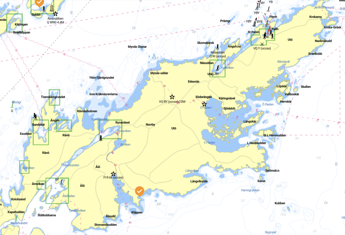
Utö & Ålö
Summer Vibes & Adventures
Utö and Ålö are two of the most well known islands in the southern Stockholm archipelago, located within comfortable reach when renting a boat from Nynäshamn. The islands are connected by a small bridge and offer a mix of nature, history and classic archipelago culture.
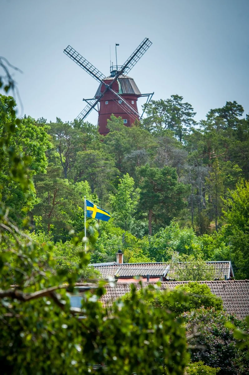
Utö is known for its lively harbour, small cafés and restaurants, and the historic Utö windmill, one of the island’s most recognizable landmarks. The island also has a long mining history dating back to the 12th century, when iron ore was extracted here. Today visitors can explore parts of this heritage, walk along gravel roads across the island, or stop for a swim at nearby beaches.
Parts of Utö are also used by the Swedish Armed Forces as a military training area. From time to time, exercises take place in certain zones around the island and nearby waters. These activities are clearly marked and communicated through (maritime and land) notices and signage. When boating in the area, it is important to respect any restricted zones or temporary navigation limits during exercises.
Just across the bridge lies Ålö, which offers a quieter and more natural environment. Here you will find forests, smooth granite cliffs and one of the most famous sandy beaches in the archipelago, Storsand. It is a beautiful place to anchor nearby, go ashore for a swim, or enjoy a picnic by the water.
Extras on Utö & Ålö:
Rent kayaks, bikes or scooters & SUPs at Gruvbryggan (North of Utö). Link to Activ Skärgård.
Stay all-inclusive for the night at the Utö Värdshuset or try Glamping for the night
Hike the SAT (Stockholm Archipelago Trail)
Discover the history and birthplace of ÖtillÖ Swimrun
Have lunch at the famous restaurant Båtshaket on Ålö.
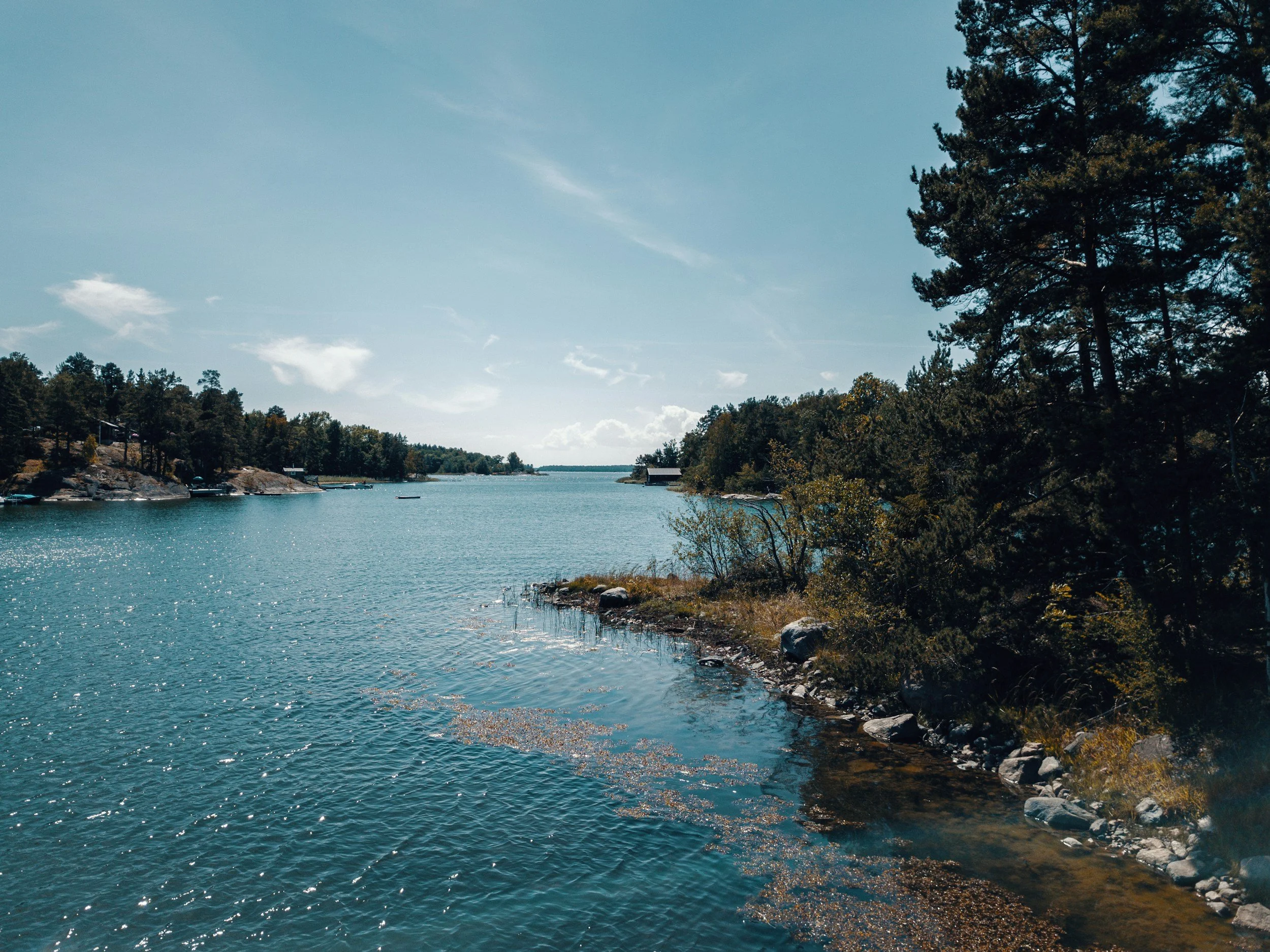
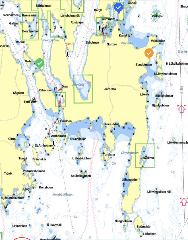
Järflotta
Peacefull and quiet
Järflotta is one of the most peacefull islands in the southern Stockholm archipelago, located south of Nynäshamn and easily reachable by boat. Known for its smooth granite cliffs, sheltered bays and peaceful forest, it is a classic destination for a relaxed day on the water. The island offers several natural harbours where you can anchor or moor directly against the rocks, a traditional Swedish way of stopping in the archipelago. From there, it is easy to swim, sunbathe on the warm granite or explore short walking paths through the surrounding pine forest. Järflotta remains largely untouched, with very little development, which makes it a great place to experience the quieter side of the archipelago. Compared to more visited islands, it often feels calm and spacious even on busy summer days. For guests renting a boat from Nynäshamn, Järflotta is an ideal destination for swimming, picnicking and enjoying the classic landscapes of the Stockholm archipelago. It combines easy access with beautiful scenery and a true feeling of being out in nature.
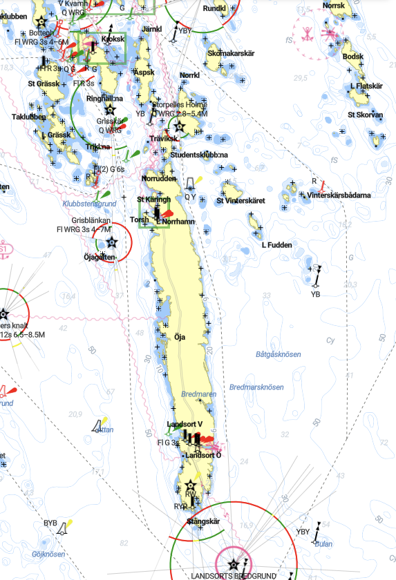
Öja Landsort
Open Sea Views and its Lighthouse
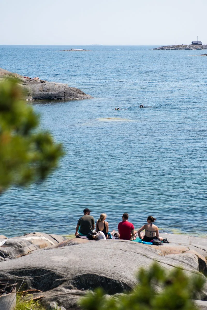
Öja, better known as Landsort, marks the southern entrance to the Stockholm archipelago and is one of the most historic islands in the region. Located south of Nynäshamn, it is a rewarding destination when exploring the outer archipelago by boat.
The island is famous for Landsort lighthouse, the oldest lighthouse in Sweden, which has guided ships through these waters for centuries. The small harbour village has a traditional archipelago atmosphere with wooden houses, narrow paths and beautiful views over the Baltic Sea.
Visitors arriving by boat can dock in the harbour and explore the island on foot. Walking paths lead across rocky landscapes and open coastal areas where the sea feels wide and exposed. During summer, cafés and small restaurants make it a pleasant stop for lunch or fika.
Landsort has long guarded the southern entrance to the Stockholm archipelago. During the 20th century, several coastal defence cannons were installed on the island to protect this important maritime route. Some of these historic military positions can still be seen today when exploring the island.
Extras on Öja Landsort:
Rent bikes in the North arbour
Explore and visit the Cold War canons. Guided tours are organised every Wednesday and Sunday between 11:30 and 13:30 in the summer months(enquire by phone with +46705428048)
Eat lunch in the main harbour overlooking the pilot boats at Landsort Saltboden
Stay the night in the hostel or why not high up in the Pilot House Lotstornet
Visit the many pottery studios of Landsort.
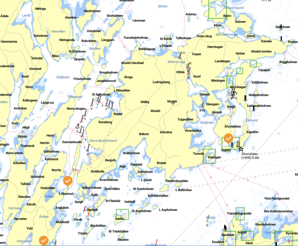
Muskö & Yxlö
Muskö is one of the larger islands in the southern Stockholm archipelago, located just north of Nynäshamn. The island is known both for its beautiful natural coastline and for its important role in Sweden’s naval history.
Large parts of Muskö are home to the Swedish Navy’s Muskö naval base, a major military installation built inside the rock during the Cold War. Because of this, certain areas around the island are restricted and clearly marked on nautical charts. When boating in the area it is important to respect these zones and keep a safe distance from military infrastructure.
Outside the restricted areas, Muskö offers beautiful cruising waters with rocky shores, forests and quiet bays typical of the Stockholm archipelago. The island’s size and varied coastline make it an interesting place to navigate around while exploring the southern archipelago by boat.
Yxlö lies just south of Muskö and forms part of the gateway between the mainland and the outer Stockholm archipelago. The island has a long, narrow shape with a coastline of smooth granite cliffs, forested areas and small natural bays.
For boaters, Yxlö offers several pleasant cruising routes and quiet places to stop along the shore. The surrounding waters are scenic and varied, making it a nice area for a relaxed boat trip close to Nynäshamn.
Because of its proximity to Muskö and the naval base, boaters should always pay attention to navigation charts and marked restricted areas. Outside of those zones, the waters around Yxlö provide a calm and beautiful introduction to the southern Stockholm archipelago.
Together, Muskö and Yxlö form part of the maritime landscape that surrounds Nynäshamn, combining natural archipelago scenery with an interesting piece of Swedish naval history.
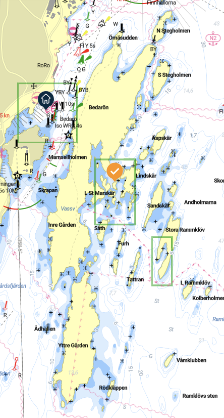
Bedarö & Yttre Gården
Secret Moorings, Horisont and Wild
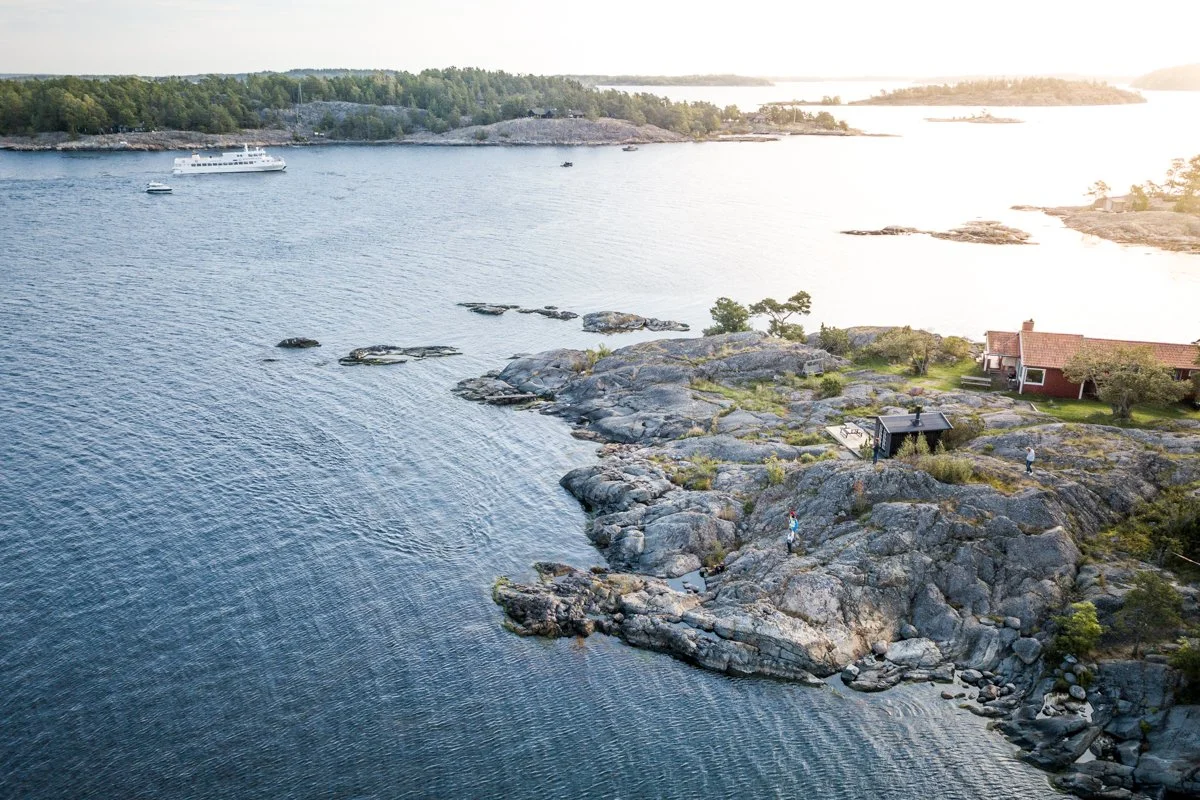
Bedarö is a quiet and beautiful island just east of Nynäshamn, making it an excellent first stop when exploring the southern Stockholm archipelago by boat. The island is known for its smooth granite cliffs, small sheltered bays and peaceful natural surroundings.
With a rented boat, Bedarö is easy to reach within a short cruise from Nynäshamn harbour. The coastline offers several good spots for anchoring or mooring against the rocks, where you can swim, relax on the warm granite or enjoy a picnic by the water.
Unlike some of the larger islands in the archipelago, Bedarö remains mostly undeveloped. Its pine forests and rocky shores give it a classic archipelago feel and make it a great destination for guests who want a calm and natural setting close to the mainland.
Yttre Gården lies further out in the archipelago and offers a true outer-sea experience. The islands here are smaller, more exposed to the Baltic Sea and shaped by wind, waves and salt water.
The landscape is typical of the outer Stockholm archipelago, with low vegetation on the east, smooth rock formations at the south and wide open views toward the horizon. The middle is more wild with deep forest. On calm days, it is an incredible place to cruise, drop anchor and enjoy the quiet atmosphere of the outer coast. (Beware of the military restrictions)
Because the islands are less visited and more remote, Yttre Gården gives a strong sense of freedom and exploration. For guests renting a boat from Nynäshamn, it is one of the places where the archipelago really starts to feel wild and expansive.
It is best visited in stable weather conditions, and always with careful navigation, but the reward is some of the most dramatic scenery in the southern Stockholm archipelago.
How to navigate safely to those islands?
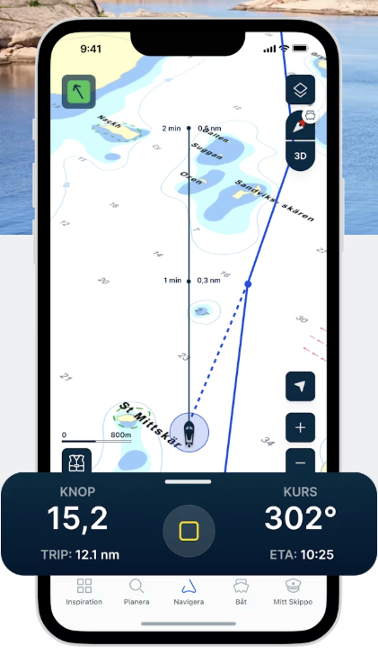
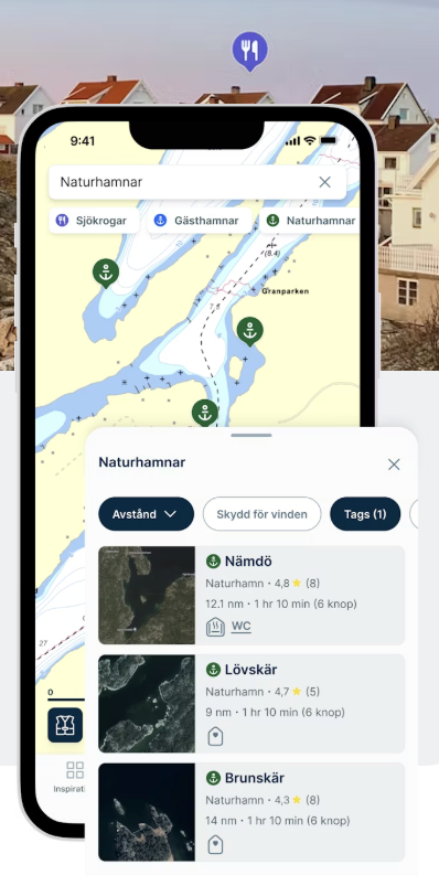
We recommend using the Skippo App to safely navigate to all our favourite islands.
Skippo is a GPS plotter on your phone, which does exactly what any plotter (Garmin, Raymarine…) does:
It shows your live position and heading, your surroundings (both under & over the sea) and speed. All so you can safely navigate through the archipelago!
It shows you all the moorings, nature harbours, harbours and services at a glance. Once you find your destination, Skippo will show you the safest and shortest way and lead you there, turn after turn.
Before heading out, make sure to download the Skippo App on your phone. GOOD NEWS: You get 3 days free as a trial period, perfect if you’re out for 1 day only!
And if you’re a first-time captain, head to our own free crash course in how to use a motorboat, navigating, and mooring in a natural harbour.